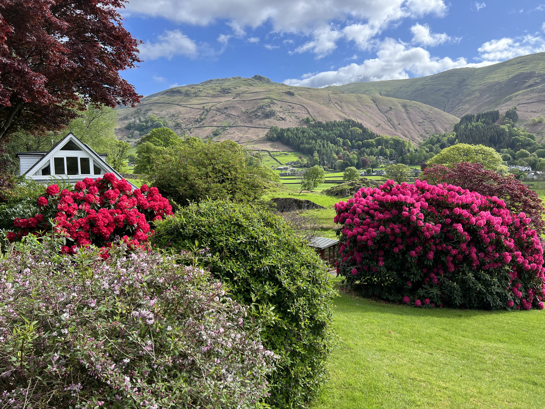
Before I get into Day 4 (10 May), it’s probably worth pointing out that the manner in which the trip is chopped into “parts” and posted at theWiktors, leaves a little to be desired (at least for me). Where one post per month is often the [missed] goal, one post for the month of May seemed a poor fit for this particular trip both because of the duration and magnitude of adventure. Similarly, a post for each day might turn this trip into something more akin to getting trapped in your relatives basement while they click through hundreds of 35mm slides on a Kodak Carousel Projector. So with that in mind, Part 2: Seatoller to Shap begins.
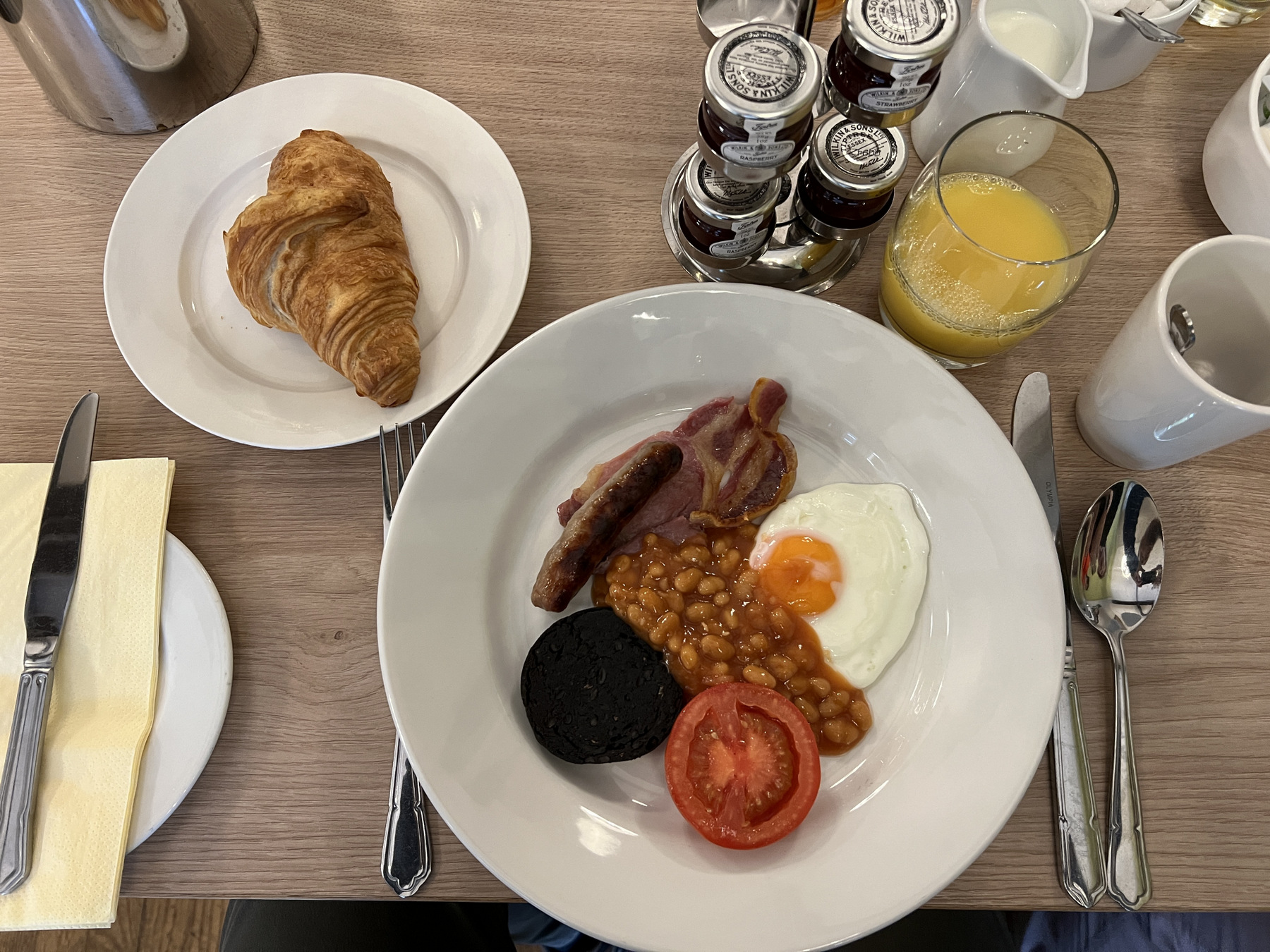
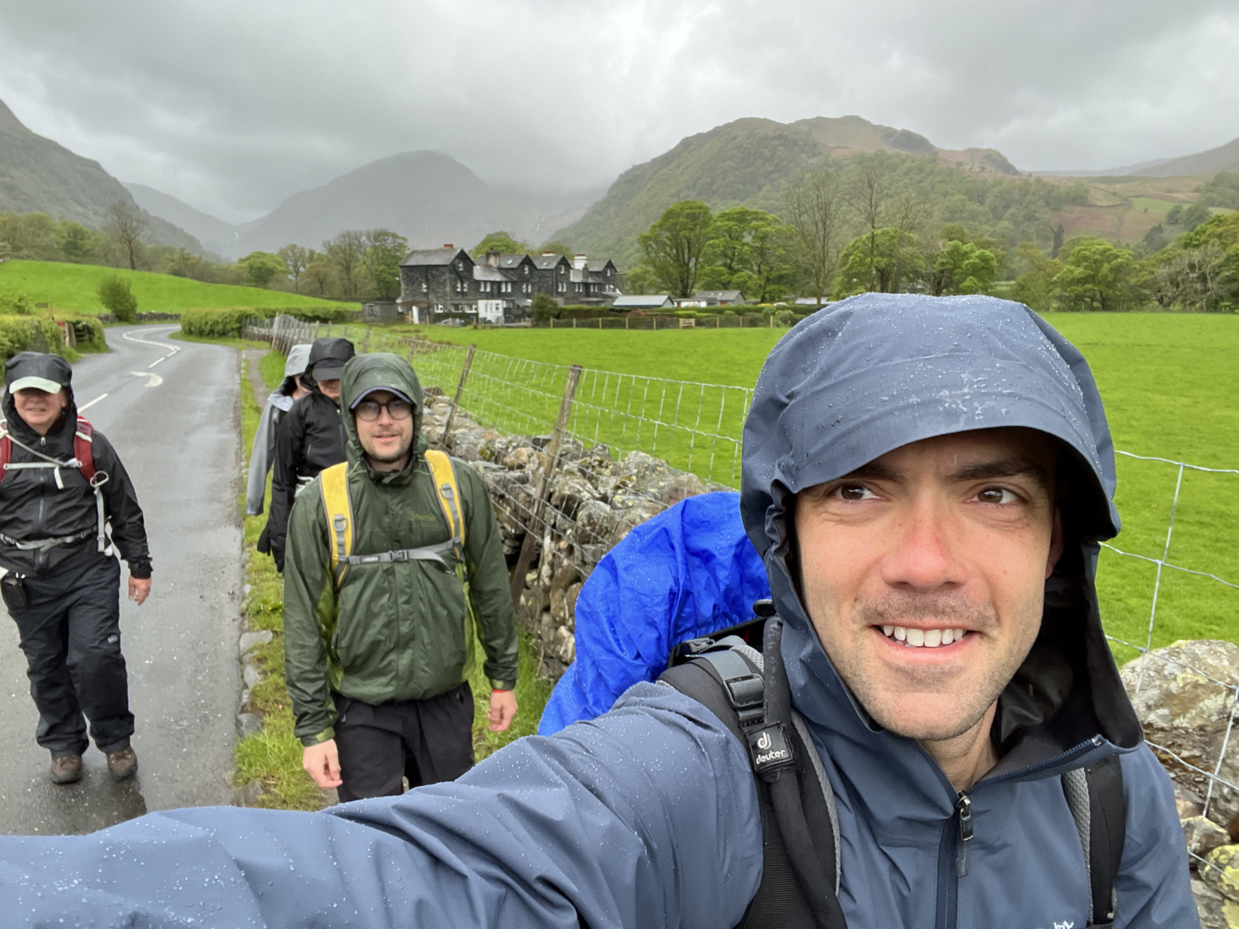
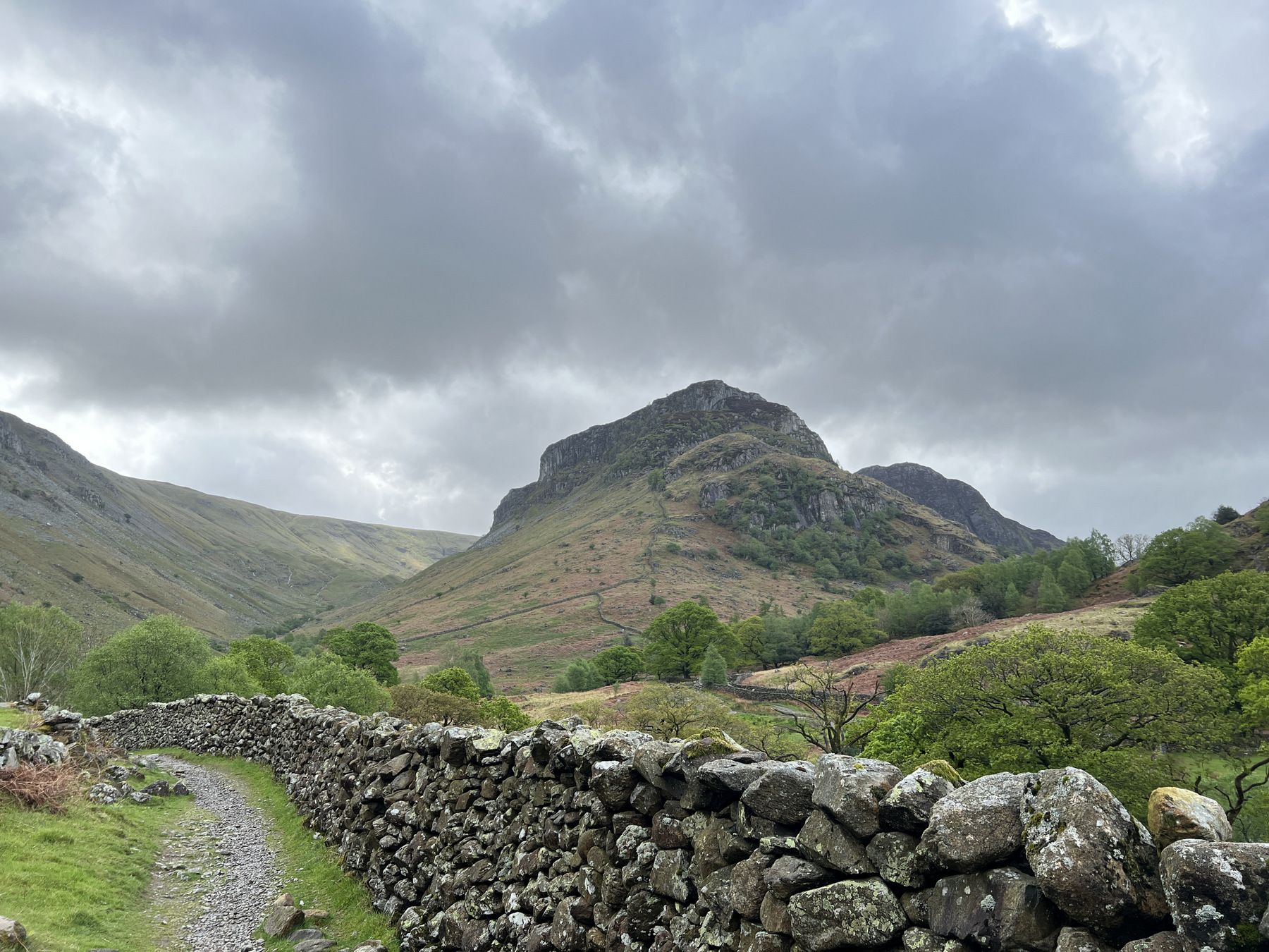
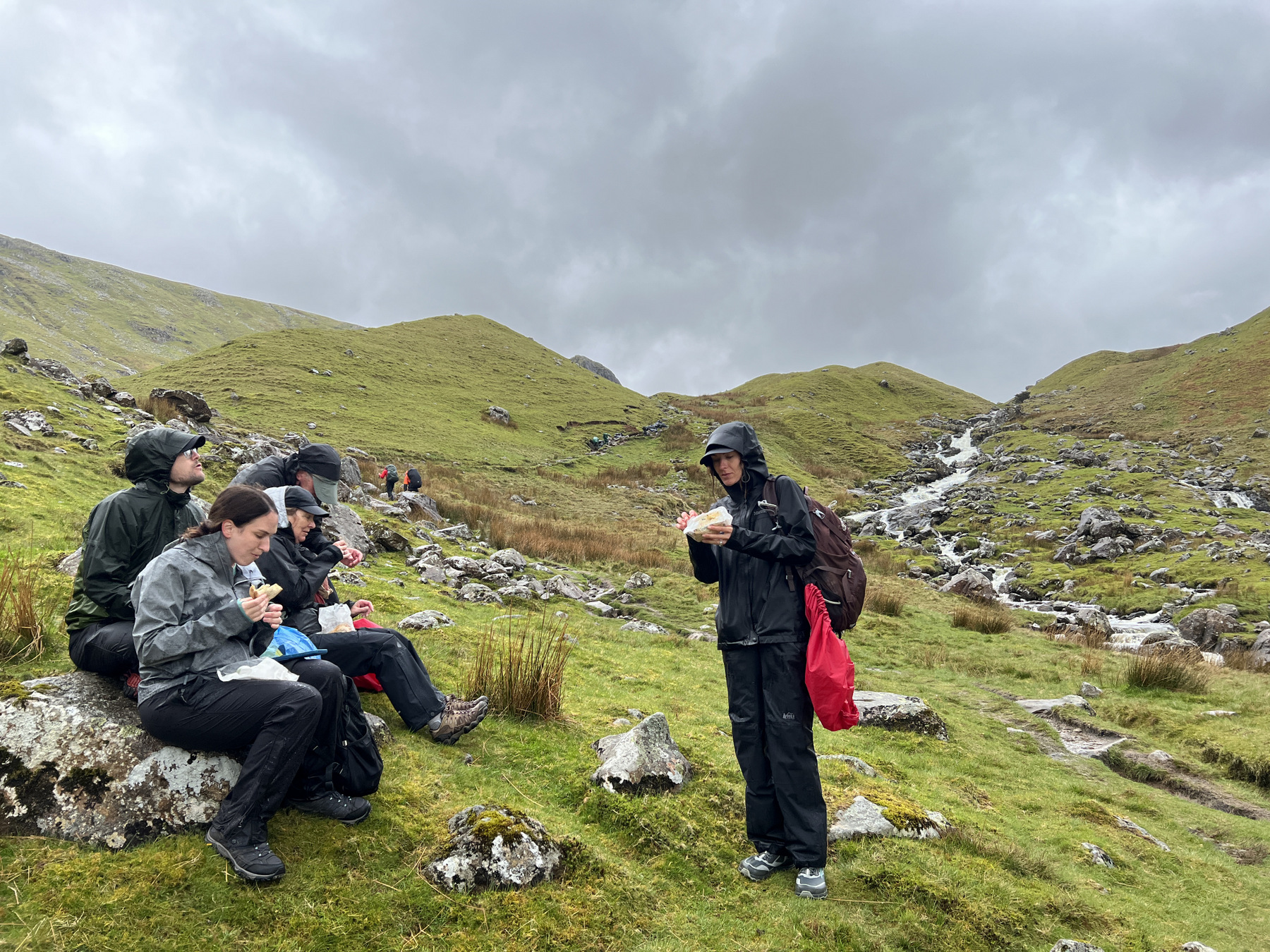

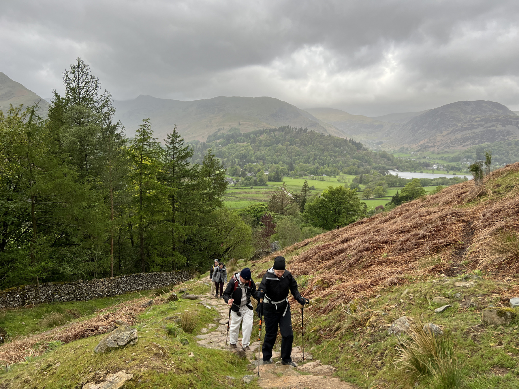
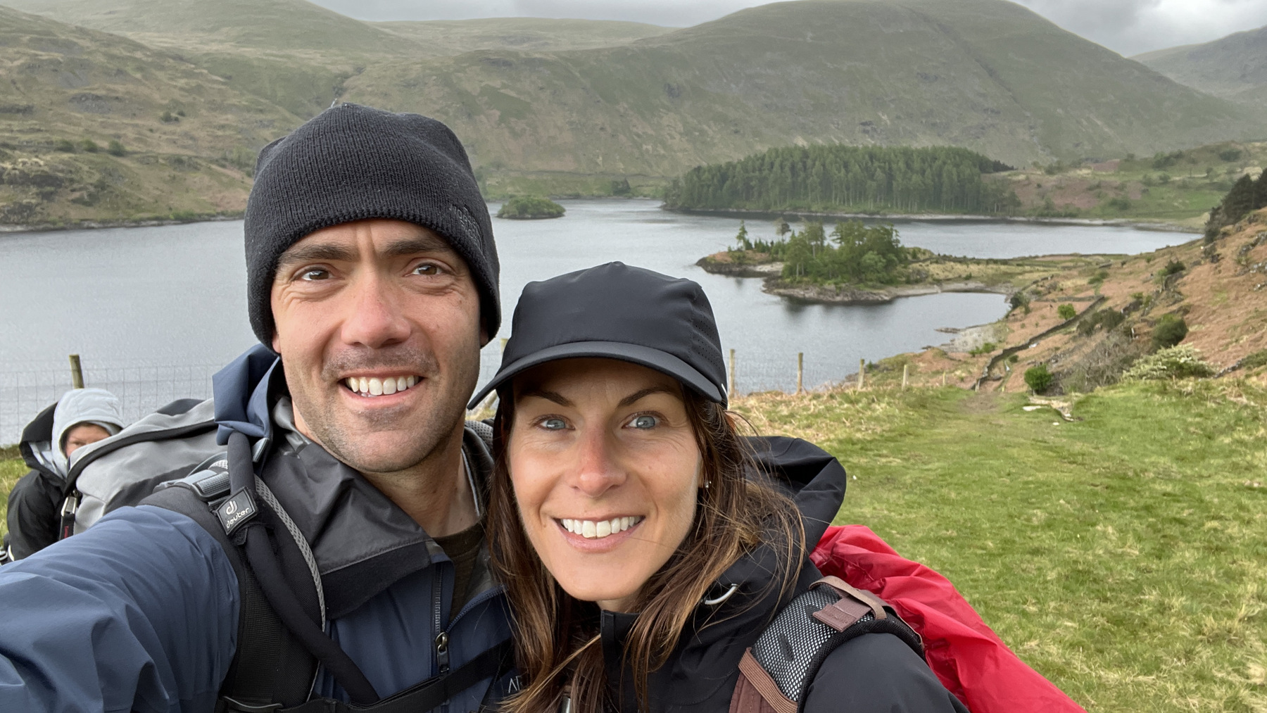
After we get up and enjoy a rather fantastic breakfast, it’s off we step. Oh, those clouds.. Ehh… Rain gear? Some opt to pause and suit up before we walk out the door. Others pass and choose optimism. Before we walked a 1/4 mile, the rain started and the optimists joined the Gore-Tex club. The rain was fairly unrelenting the next few hours and it came with some blustery winds. Accompanying the rain out of Seatoller was a path that was a complete up-hill slog for 5 miles. After a soggy sandwich and some scrambling up the last bit of rocky trail, we arrived atop Lining Crag where we took a few windy pictures then stepped off for the second half of the hike.

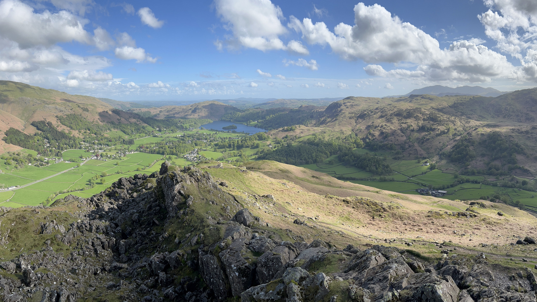
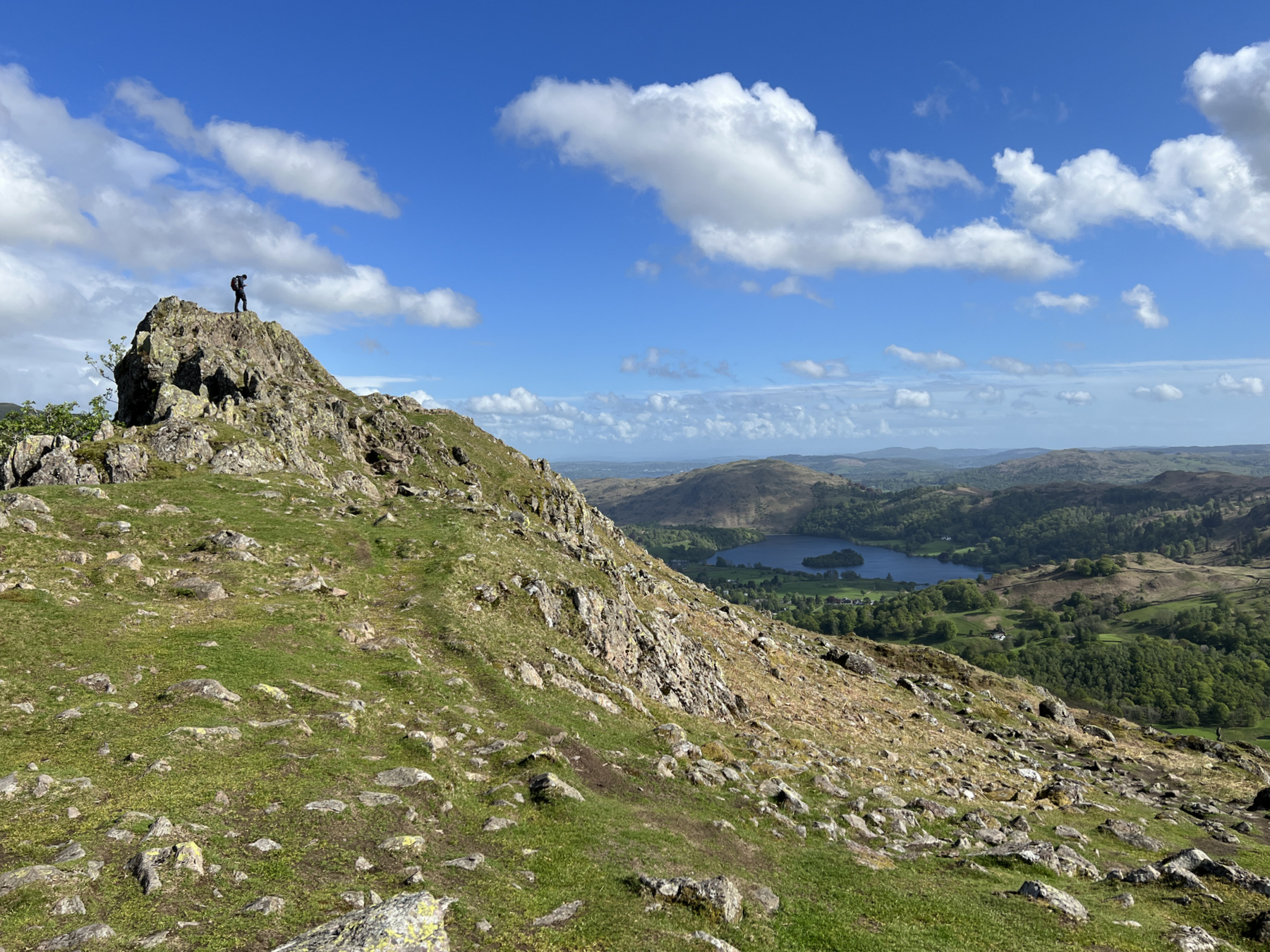
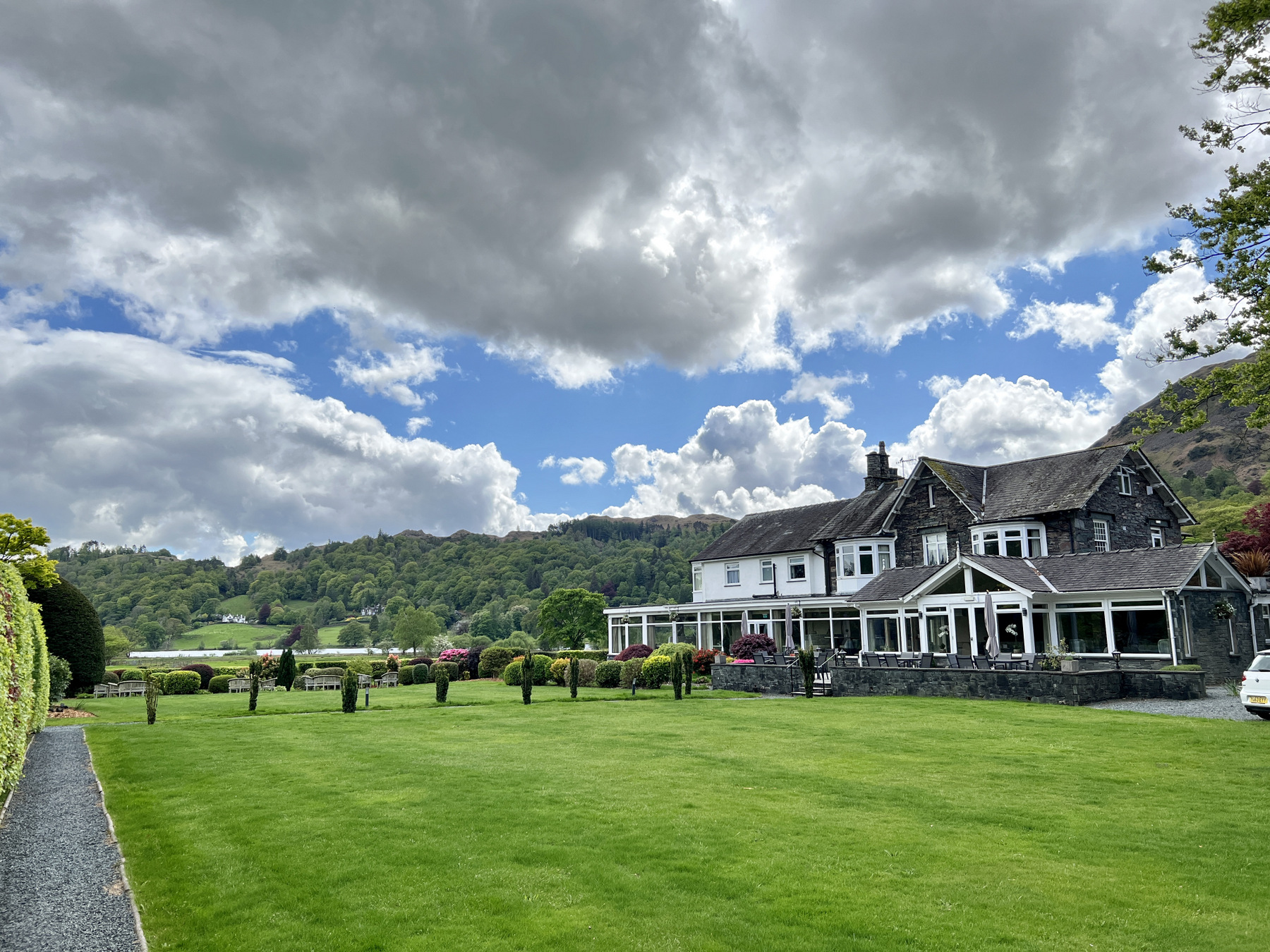

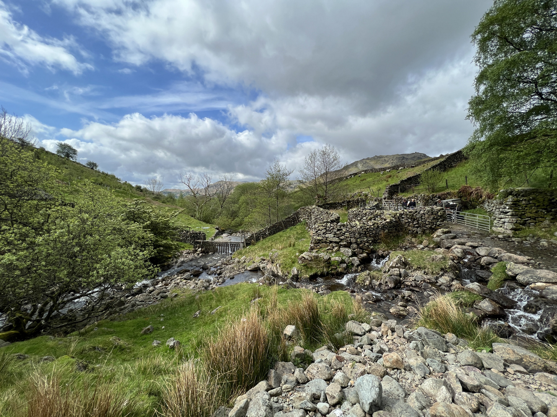
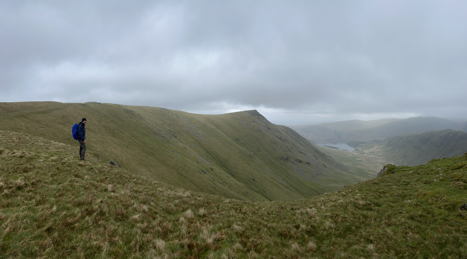
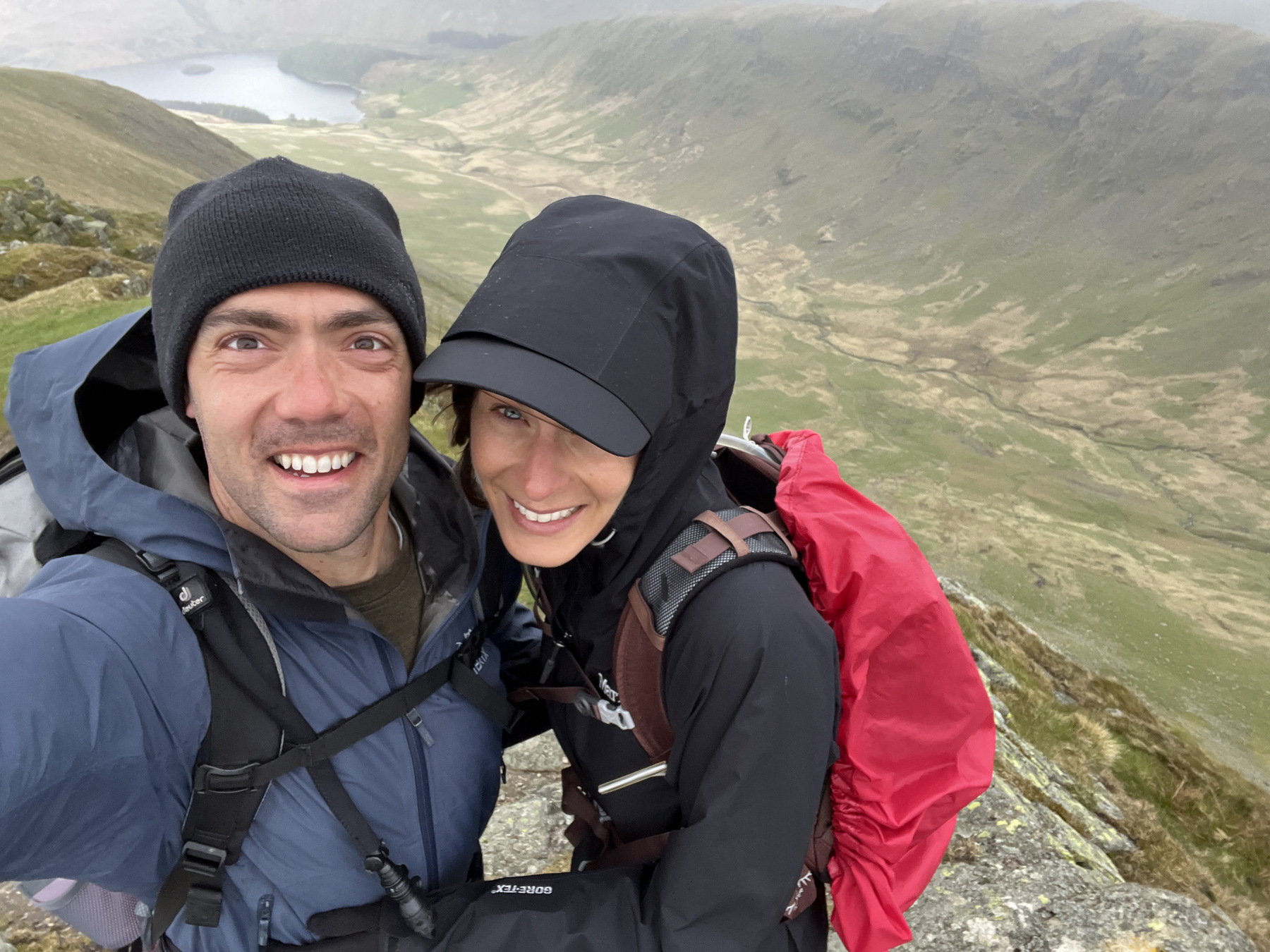
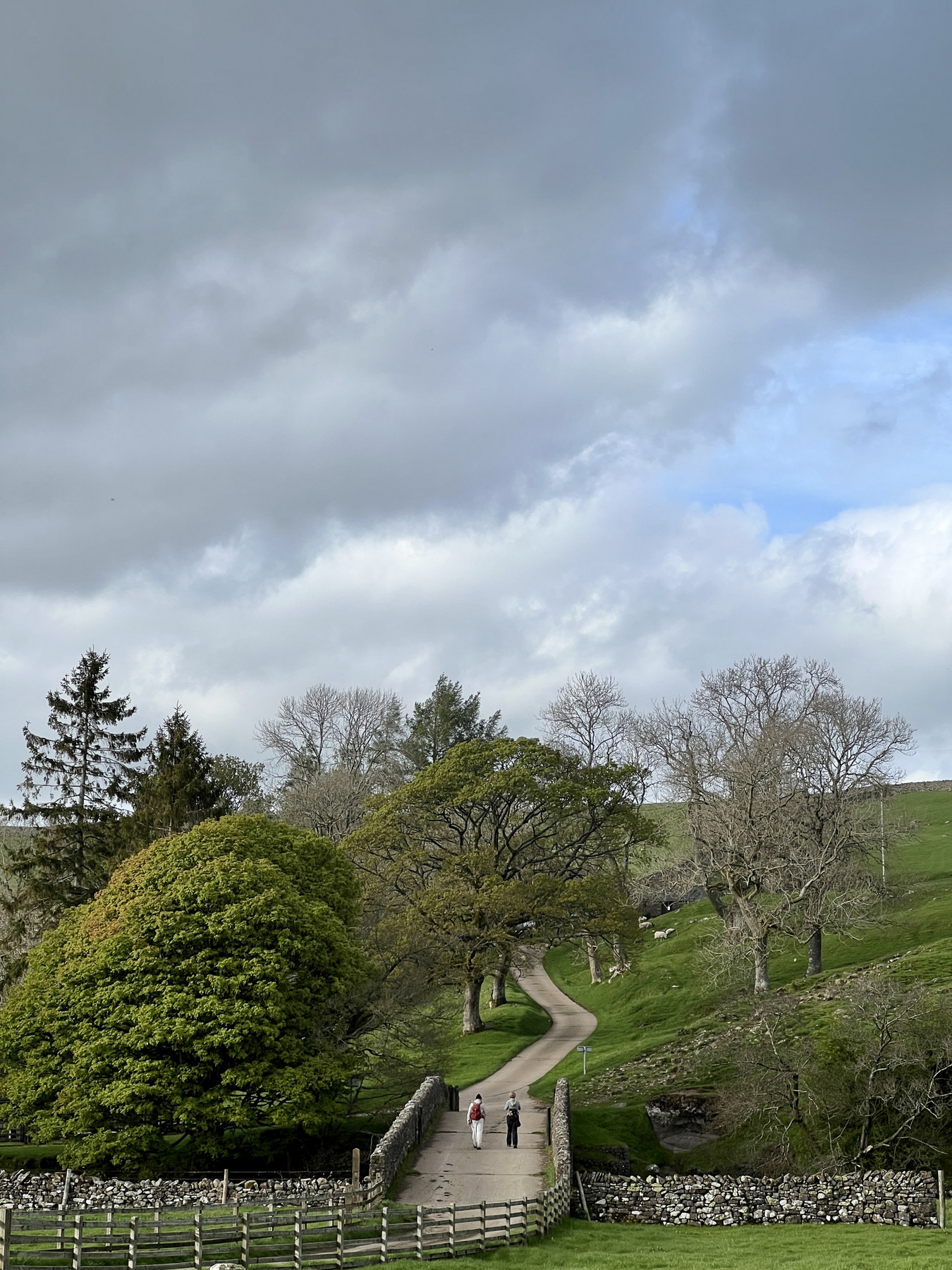
As “A.W.” describes it, once you cross the Wyth Burn three times in a particularly boggy spot, you look for three fence posts and one carin close together. Once there, you have the choice of the Ridge Walk or the Valley Walk. The decision was unanimous at the time but that didn’t last and the route choice would be hotly debated a few times in the weeks ahead. I think looking back now that the group would all agree that the Ridge Walk is the clear choice and we picked it right on 10 May. A little more ups and downs than it looks on the map, the Ridge Walk gives beautiful views of the Easedale Valley and ends with jaw dropping, 360 views from the top of Helm Crag. Knees were screaming as we chugged down Helm Crag but the Grand at Grasmere was able to fix most ailments. We closed the day at 10.5 miles and 3,238 ft of climb on the odometer.

We spent day 5 relaxing in the town of Grasmere (population maybe 1000?) and were wowed by the view every time we turned the corner. Wadsworth called this valley “the fairest place on earth” and I think he wasn’t far off. Day 6 the boots were back on and we stepped off to Patterdale. The route starts with a 1,500 ft climb out of the valley up to Grisedale Tarn where you are again at a fork in the road. The unanimous decision this time was the valley route. When we watched from the valley floor as both a Great North Air Ambulance helicopter and a much larger, HM Coastguard S-92 struggled in the low ceiling and high winds to save someone who fell off of Helvellyn, we were all pretty happy with our choice to go right instead of left. With about 9 miles on the clock and 2,244 ft of ascent, we strolled into Patterdale and poured a pint for ourselves at the bar.

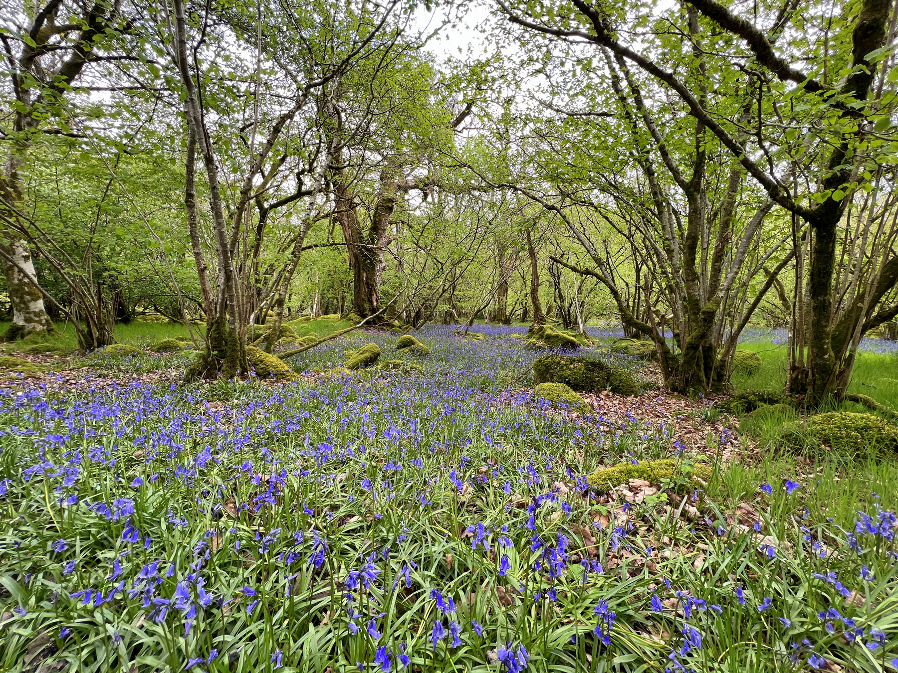
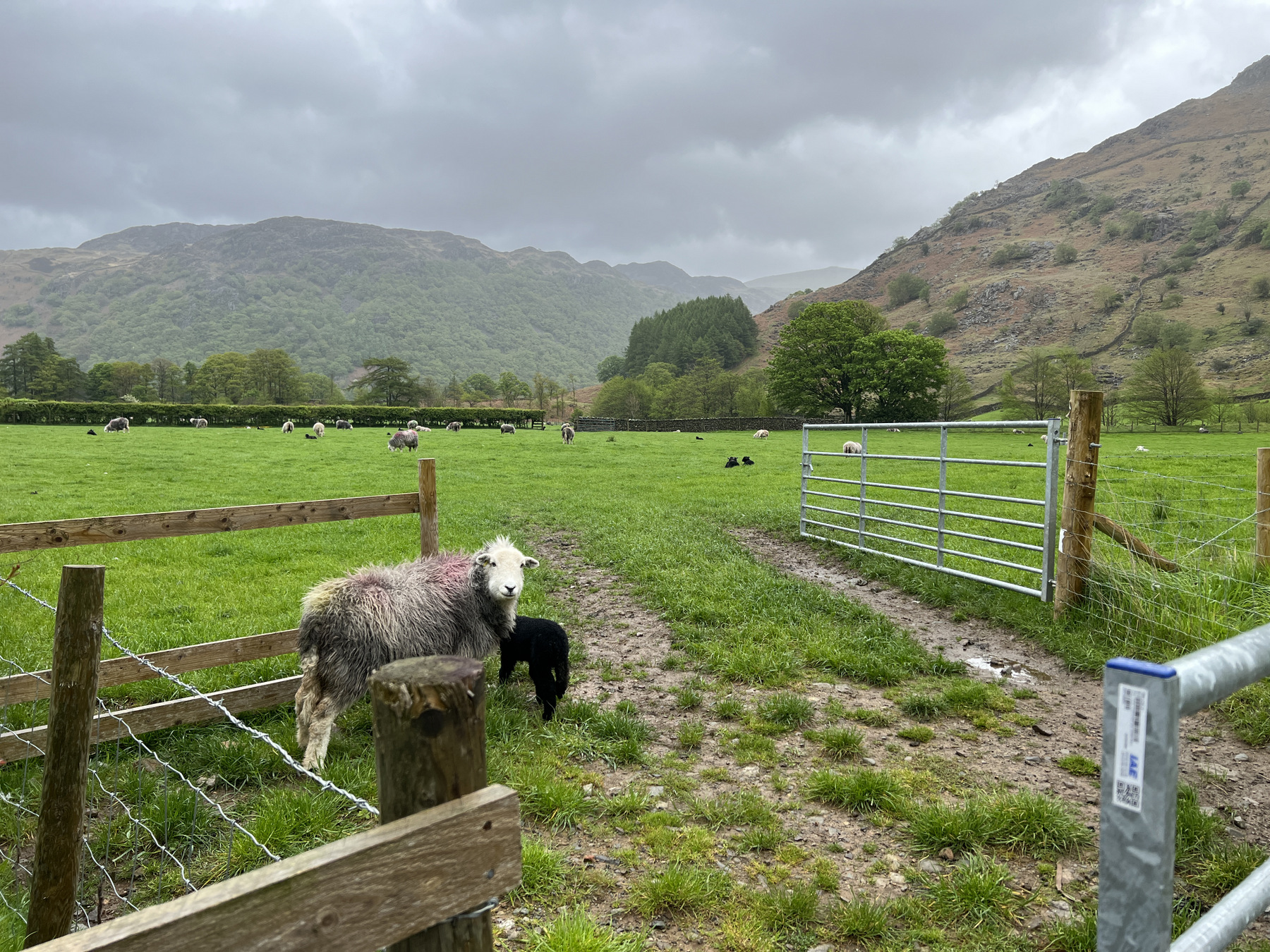
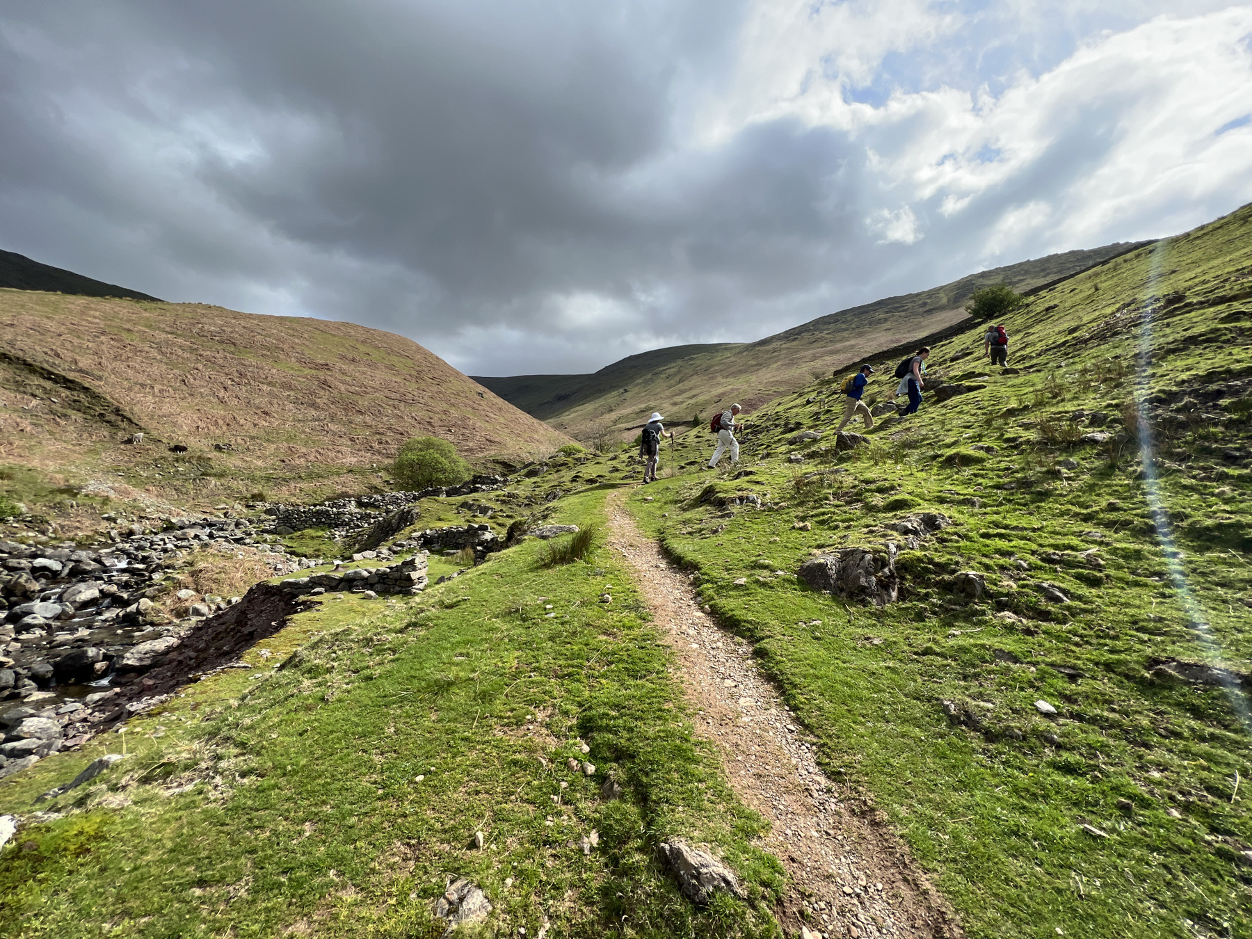
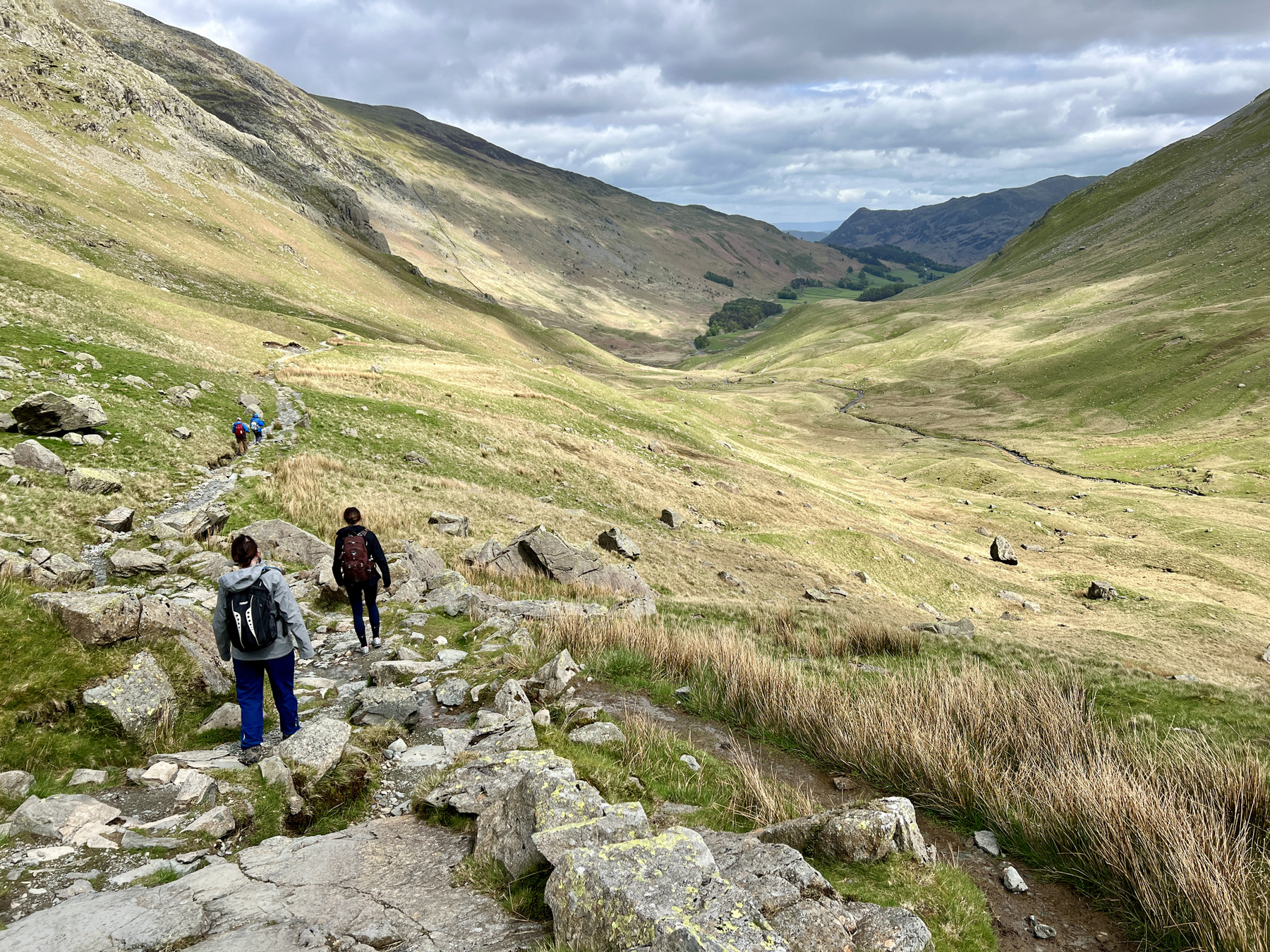
The narrative for day 7 (13 May) reads, “be prepared to feel very tired at the end of this stage.” Tired we were. Prior to setting off to Shap, we had walked 54 miles including 13,904 ft of climb and we added another 15.87 miles and 4,213 ft on this day alone. As many of the Lakes District’s west to east paths, it seems like the entire first half of the day is up. Once we made it to Angle Tarn, the weather got a “little blowy, and fresh” as they say in the UK. Kidsty Pike was an impressive site to hike towards; the pike jutting out from the ridge and looming almost 2,000 ft above the valley below. After the pike, it’s all down hill to Haweswater Reservoir where the trail seems to never reach the end. Cutting through Burnbanks we reaped the benefits of a May trip and walked through forests full of bluebells. By June, these forests are taken over by bracken ferns.
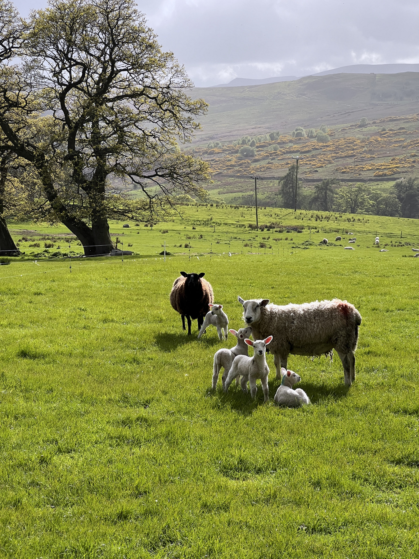
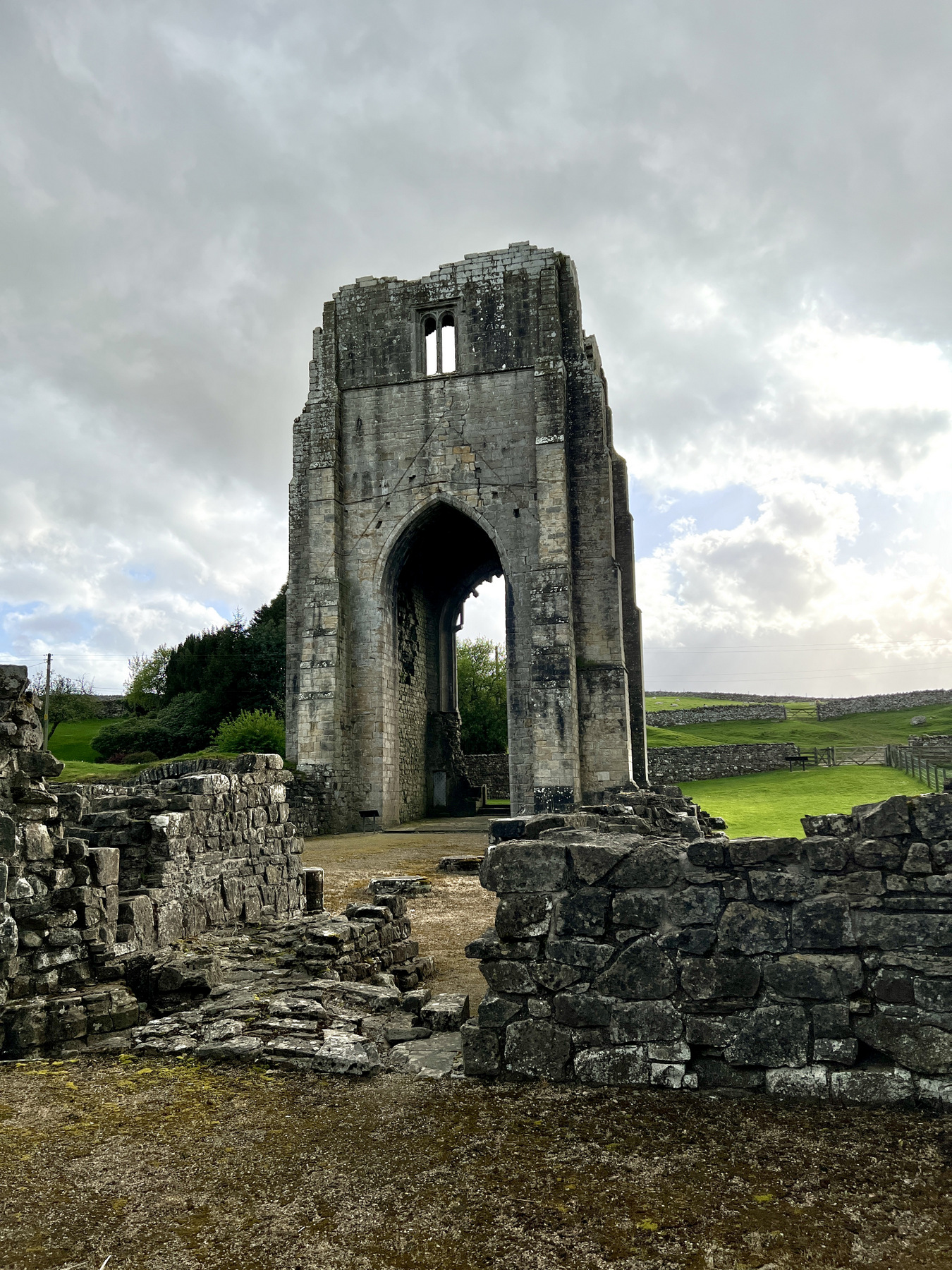
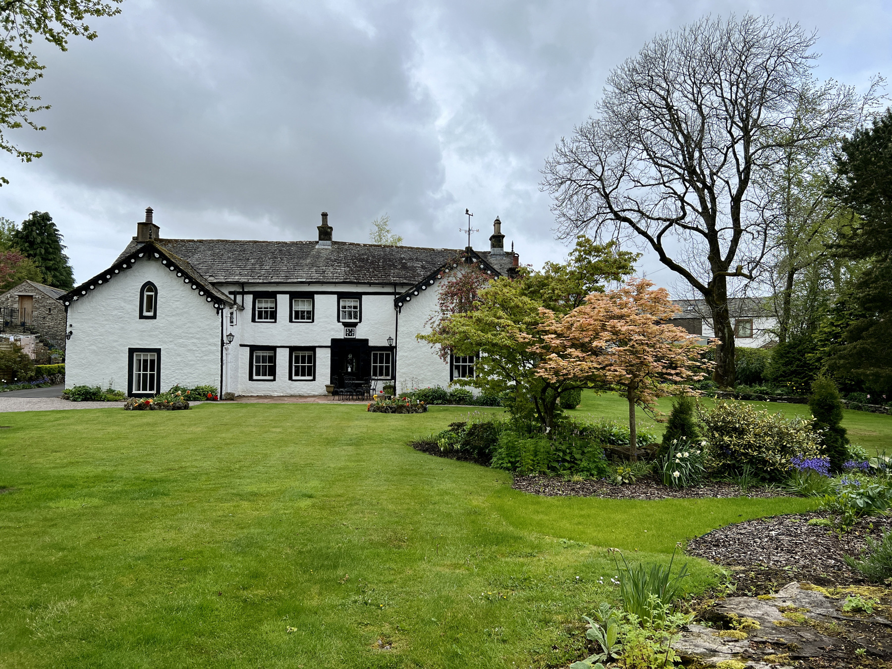
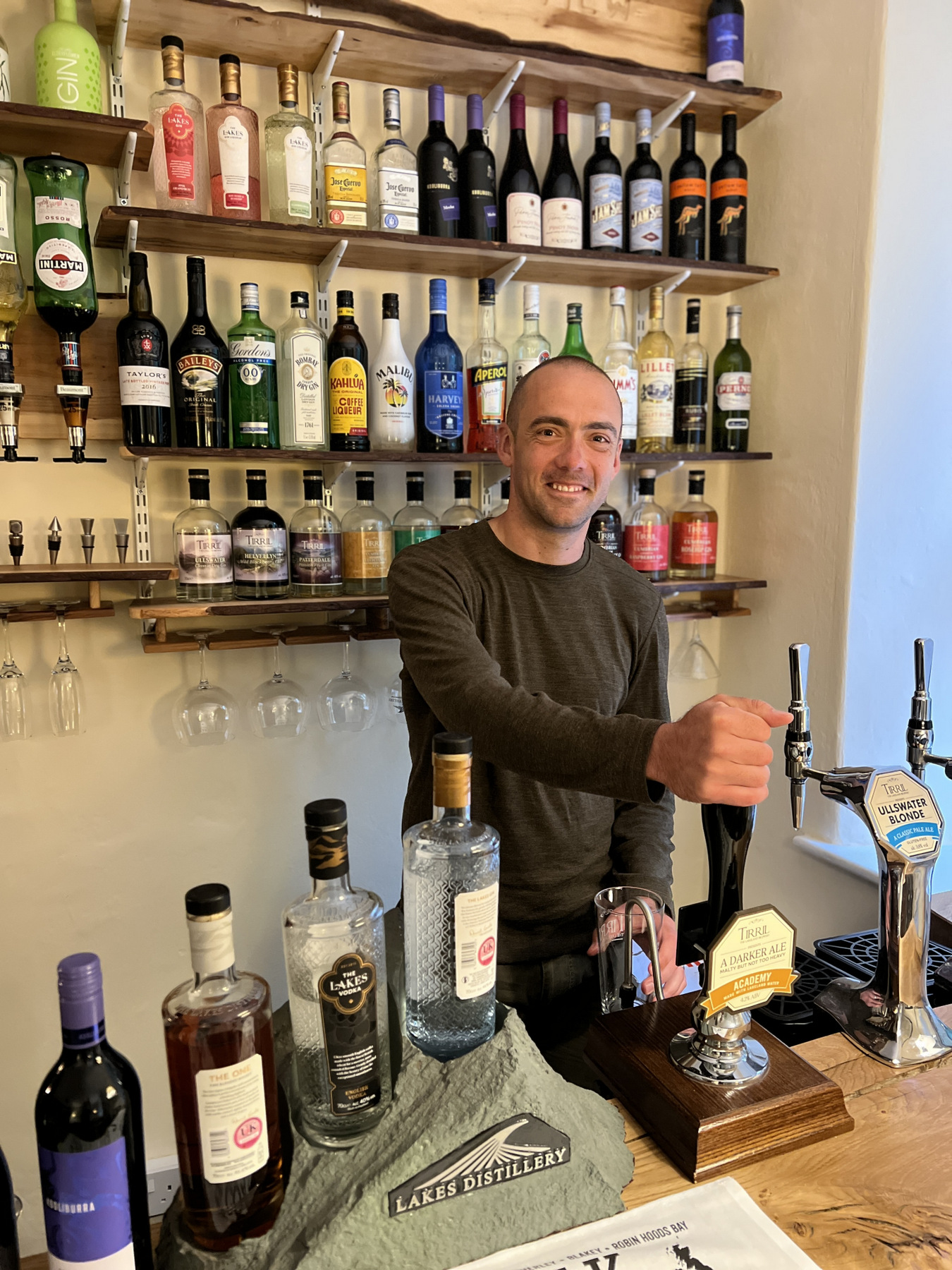
The last six miles of the day turn into rolling hills with plenty of lambs for the ladies to photograph and the men to think about putting in a pot pie with some stout. We met some mama cows that weren’t keen on us walking too close to their calves but still made it to Shap Abbey without issue. After 9 hours of walking, we stopped the GPS watches and kicked off the boots at The Hermitage (built in 1691!!). Fortunately we made it to Shap before the world famous chippy was closed so the dinner table at The Hermitage had piles of Shap Chippy and plenty of local brews. Part 2 complete as are 69.7 miles and 18,117 feet of ascent!