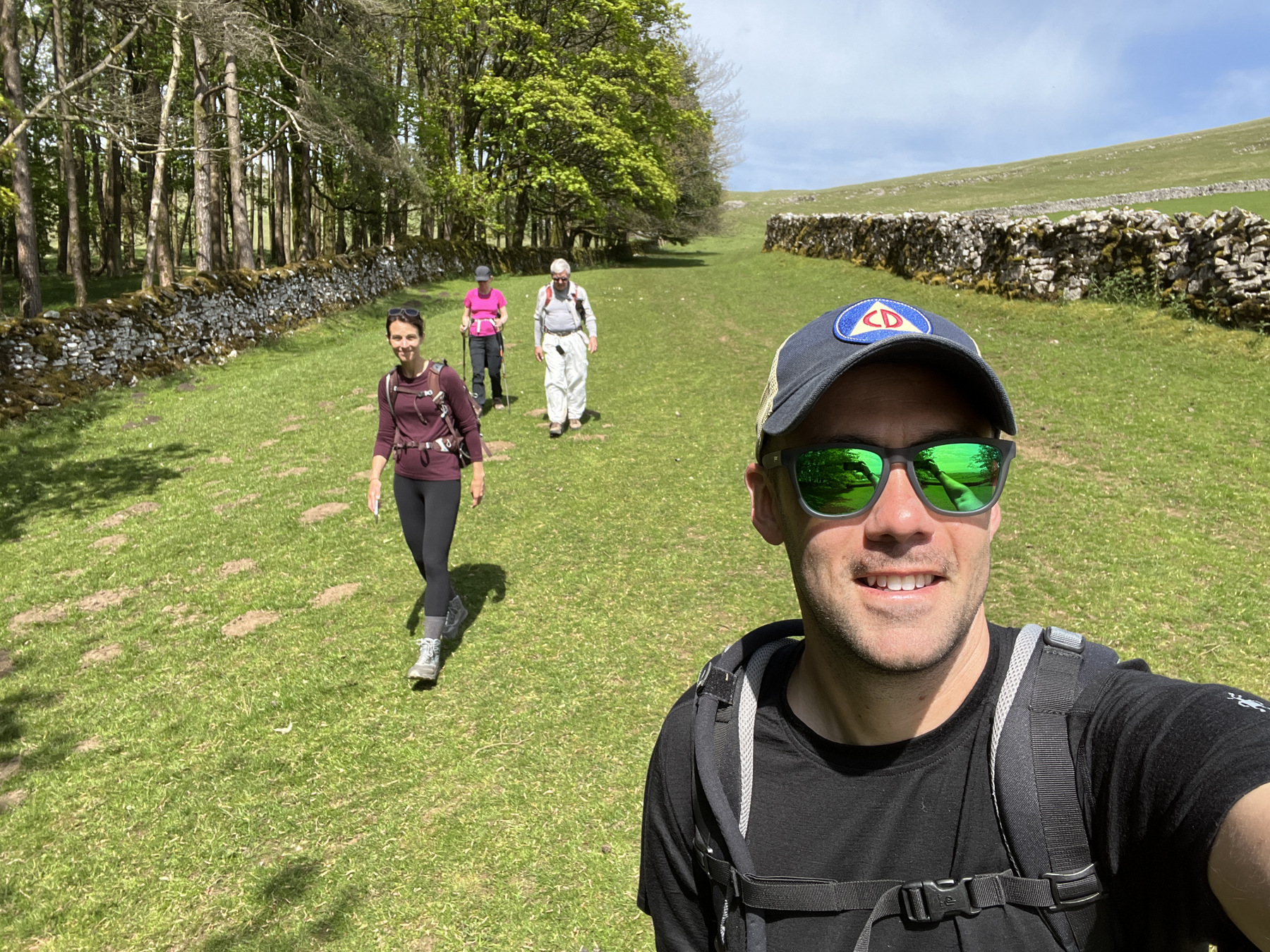
Saturday (14 May or day 8), it was breakfast at The Hermitage and then we stepped off for Orton. From this point forward, the size of the group was down to four as Laura and Gabe headed back to reality. The first leg was a relative breeze at just around 9 miles through the flat, well drained Westmorland plateau. By now we had become fairly decent at navigating using a mix of GPS, dead reckoning, and deciphering A.W.’s breadcrumbs (muddy field with rabbits, turn at the big boulder, veer right at Fall Flatt).


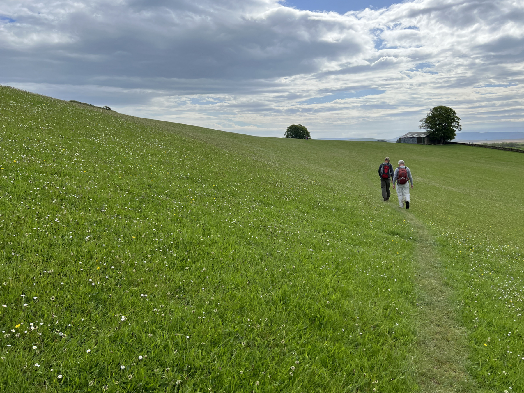
We got into Orton with plenty of time for coffee, ice cream, and a beer before cleaning up, eating a proper meal at the pub (King George Hotel), and turning in for the night. The next morning, we made our way through a dozen places with names like Orton Scar, Sunbiggin, Tarn Moor, and Smardale. We enjoyed soft and lush rolling hills under our toes and caught our first glimpse of Nine Standards Rigg.


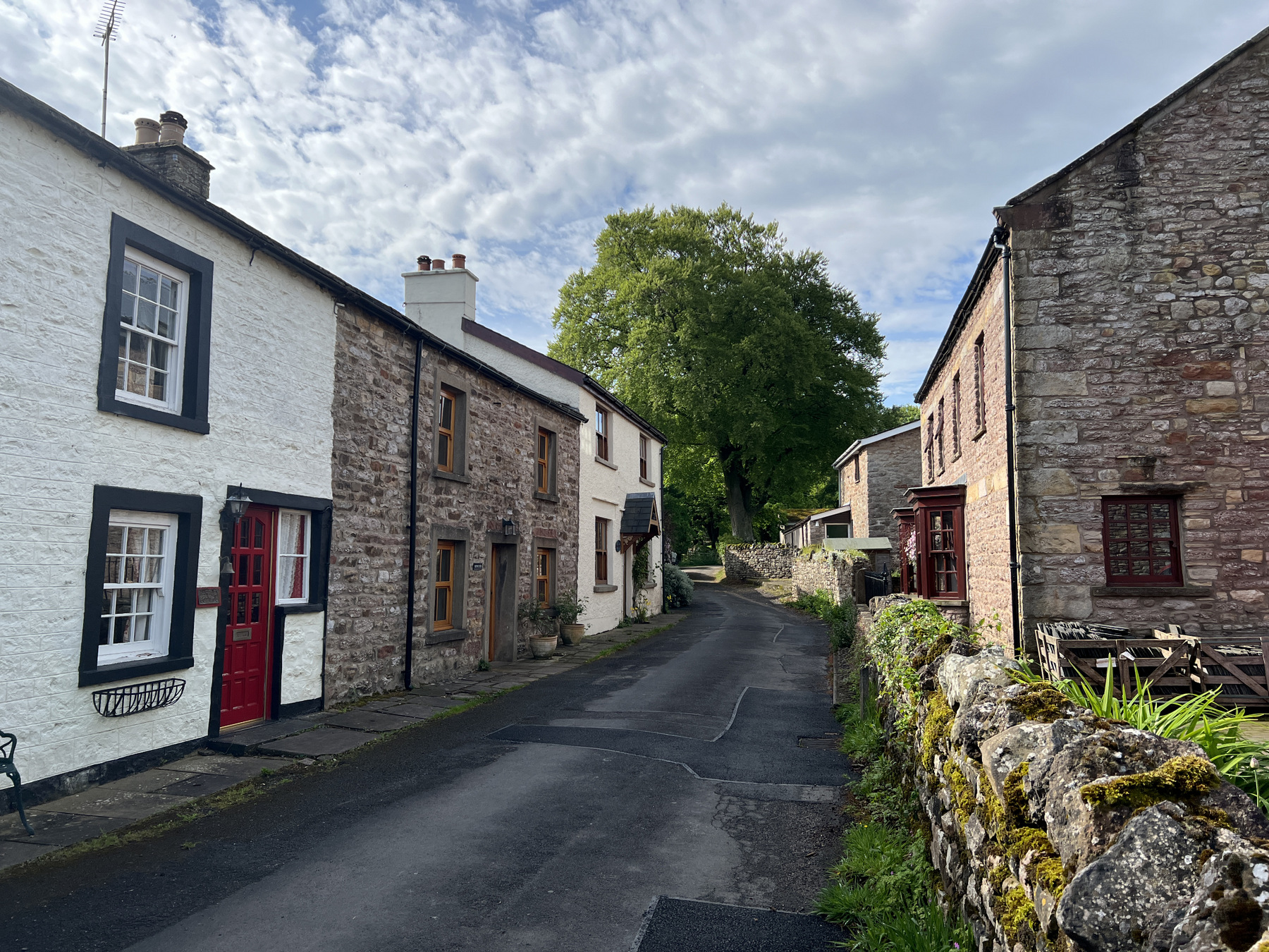
We made our way into the second largest town on our hike (population 1,800) as our odometer neared 13 for the day. Day 9 ended in Kirkby Stephen at the spacious Jolly Farmers which was not only home to our favorite, fresh scones (served with fresh clotted cream), but it was also home to the first laundry stop of the trip! Day 10 was a planned rest day that was a little rainier than we desired but we enjoyed the break nonetheless and had some surprisingly good Indian food as well.
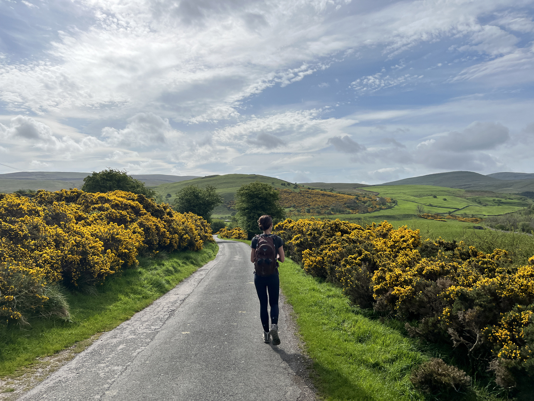


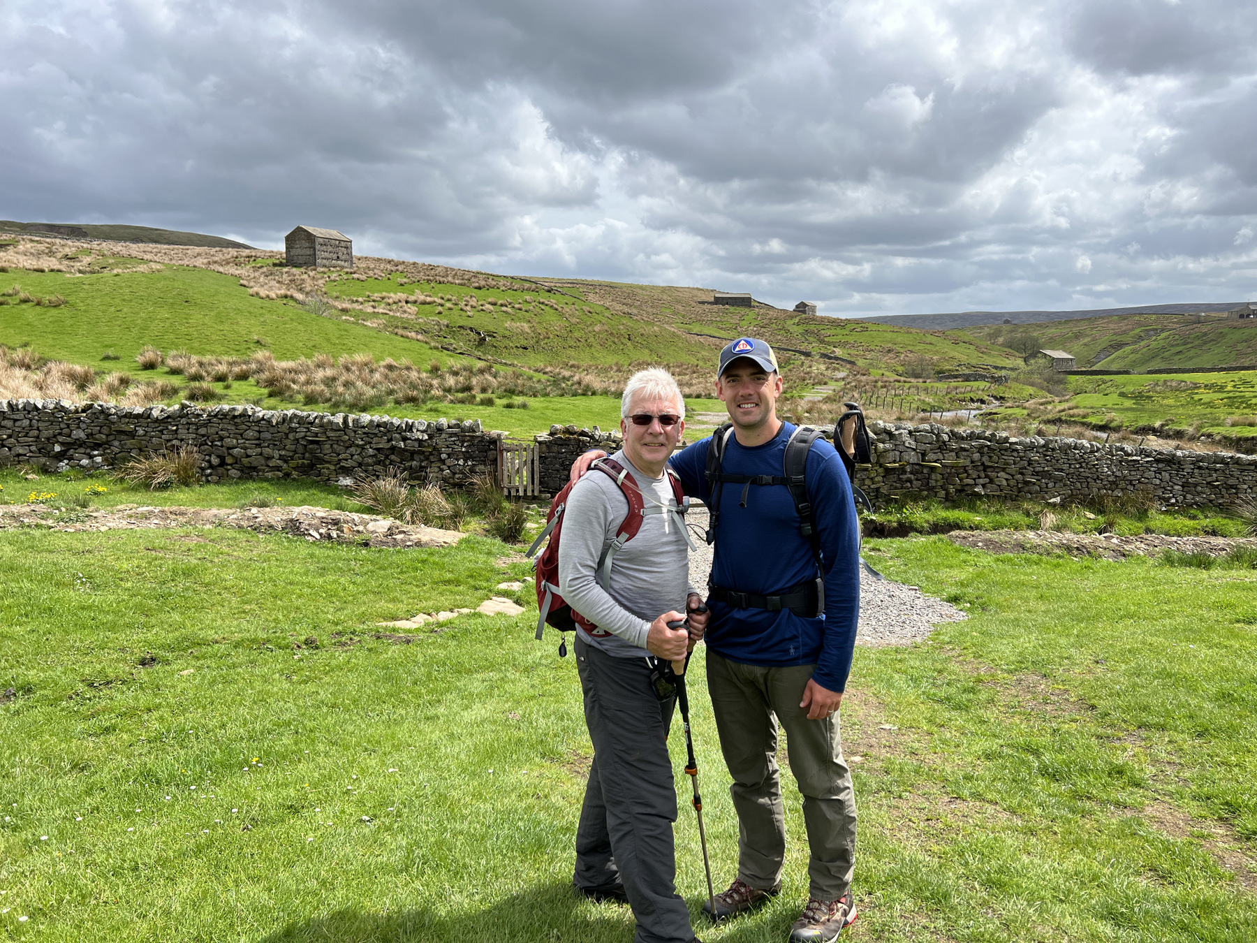
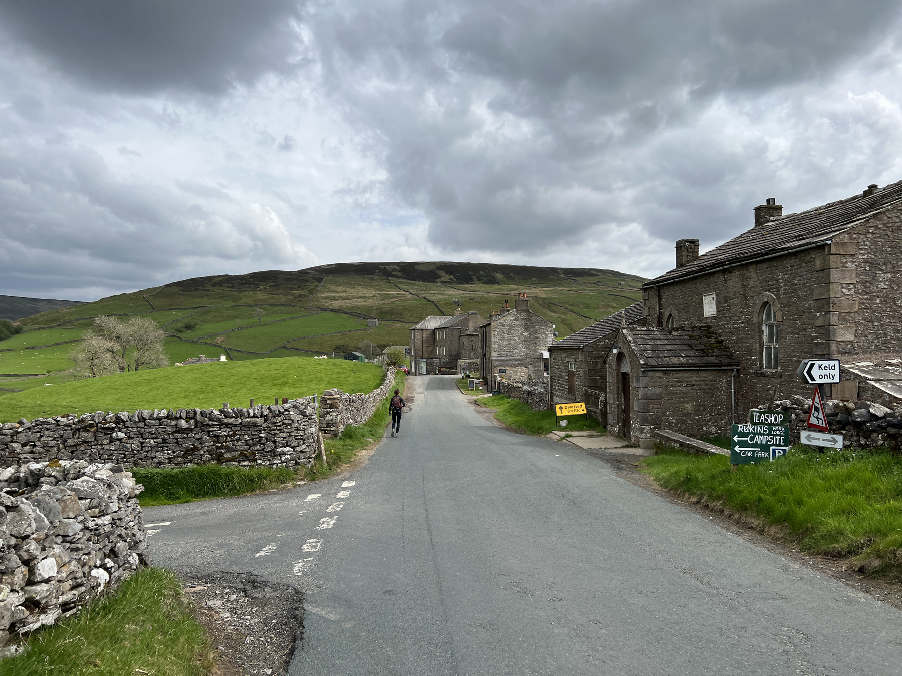
Day 11 (17 May), it was up the big hill to get muddy and see some rock piles. Leaving Kirkby Stephen, the path climbs some 1,500 feet up into the Pennines and was flanked by Gorse for most of the way… until we made it to the peat bogs. From then on, it was more mud, less path. We made it to the top of the climb and grabbed lunch at the Nine Standards, a group of nine, large cairns that nobody really knows why their original purpose. This spot also marks the continental divide with all the streams flowing east into the North Sea. Not all downhill for us from this point but a milestone regardless. We finished the day at 12 miles and 2,169 vertical feet as we pulled into the picturesque town of Keld. Arriving in Keld also meant we made it past the halfway mark – 103 miles down, another 100 to go!


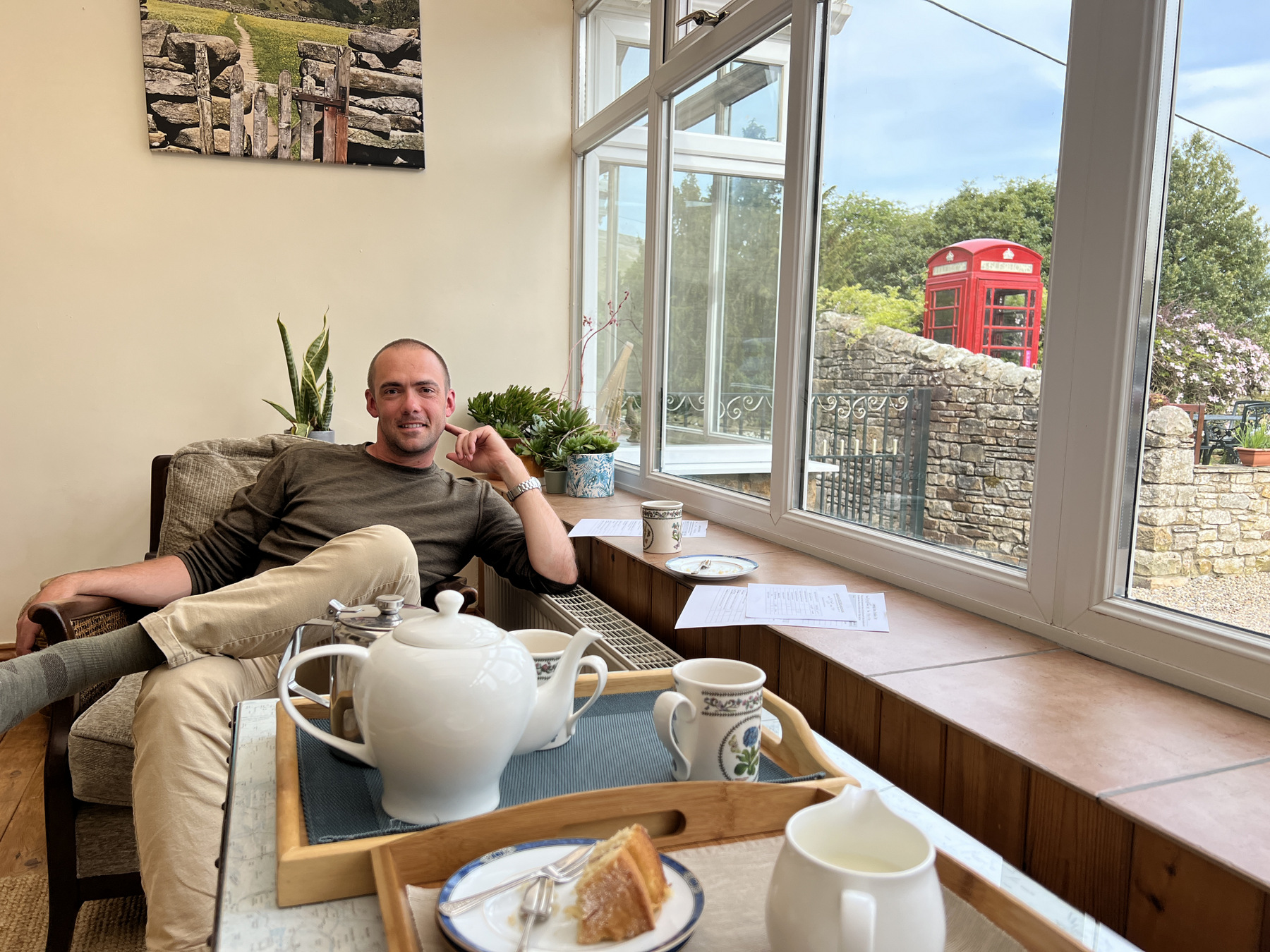
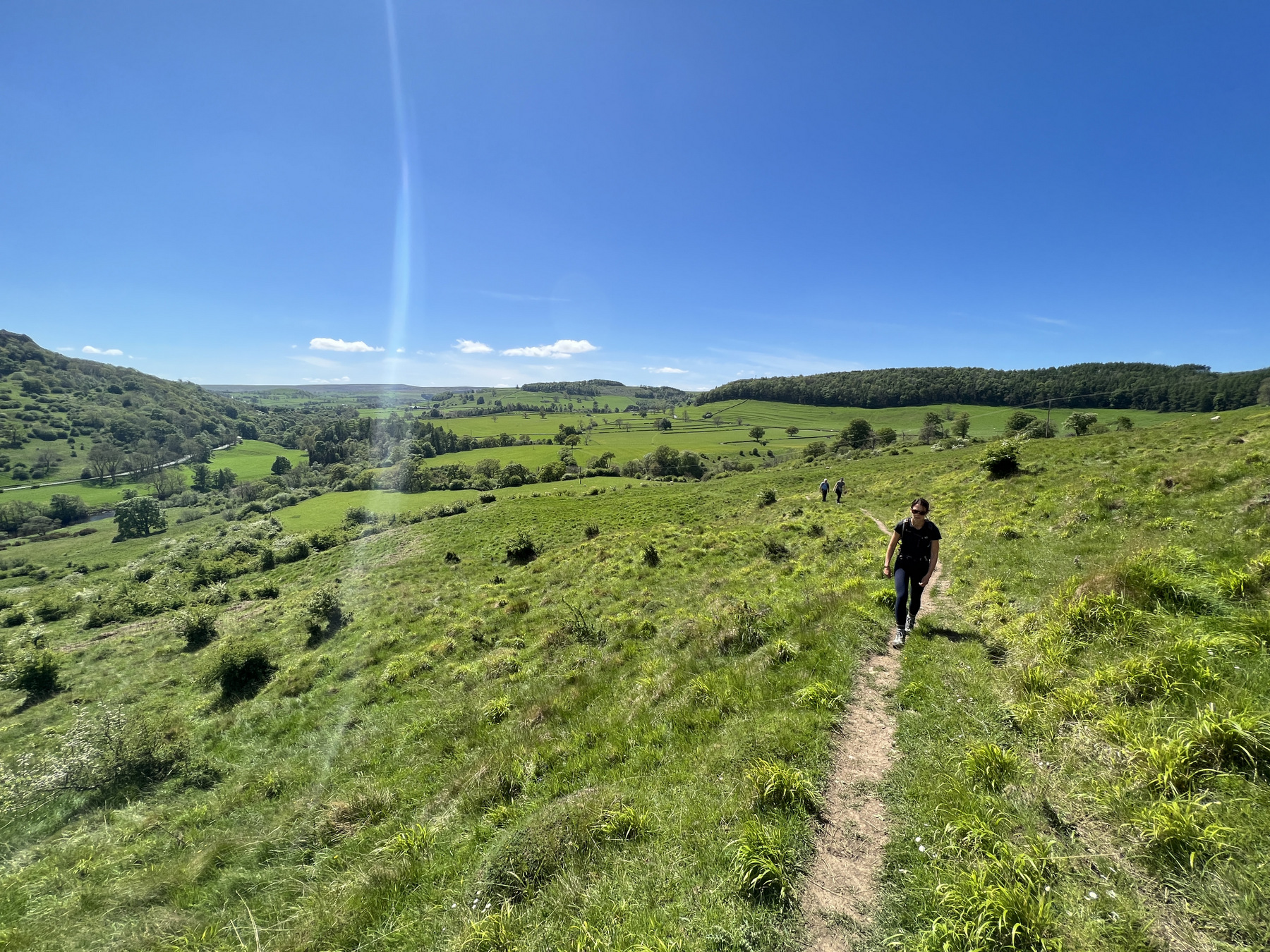
From Keld to Reeth it was 13.4 miles of beautiful views as we walked through the Swaledale Valley. Sheep, dry stone walls, old farmhouses, and the occasional stop in one of the villages along the way (Muker and Gunnerside). In Reeth, we stayed at Cambridge House and had one of the best breakfasts on the trip before setting off for Richmond on the morning of 19 May (day 13).
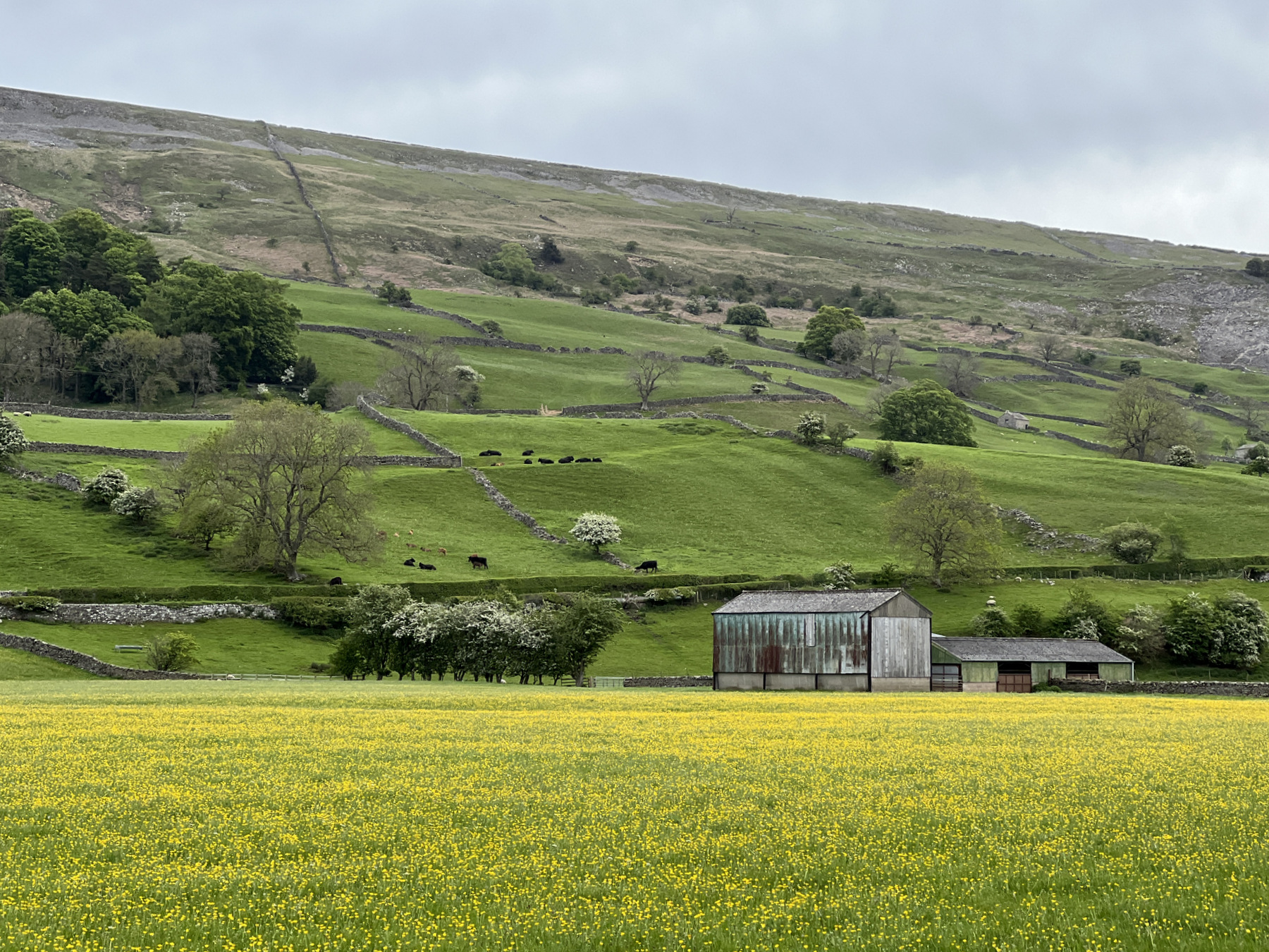


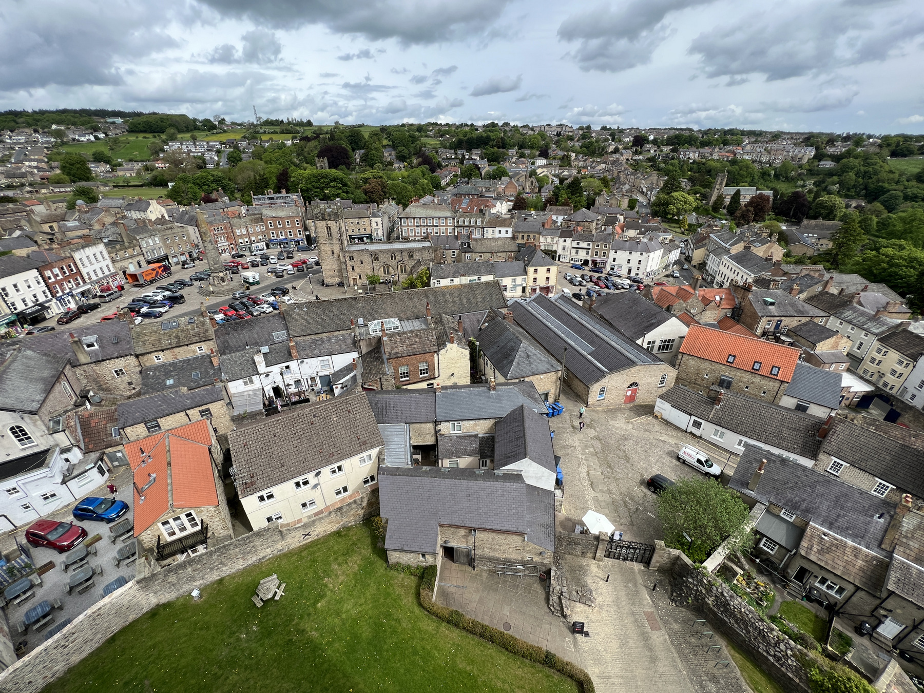

Reeth to Richmond was another day of beautiful views of the Swaledale Valley. The C2C trail meanders through the farmlands and villages along the River Swale. There were a few uphill portions, most notably the Nuns’ Steps which are named after the nuns that allegedly built the 375 steps as part of a pathway to the Marrick Priory, but overall the 12 miles seemed to go by with relative ease. Walking into Richmond felt like walking into Manhattan as it was the first (and only) “city” of the trip and boasted a population of around 8,400. Part 3 complete and our totals sit at 128 miles and 26,038 vertical feet. Time for a rest day in Richmond!